Historic photographs of the area
the Hills, 1870s to 1940Photographs of the country Skye sits in, from the hills and gullies around Magill, Norton Summit, Morialta and Horsnells Gully. They show this landscape over the decades, not a pristine past. The earliest were taken after years of grazing and timber cutting had already changed the slopes. Click any photo to see it full size.
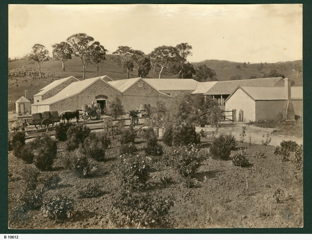 Auldana Winery, c1872
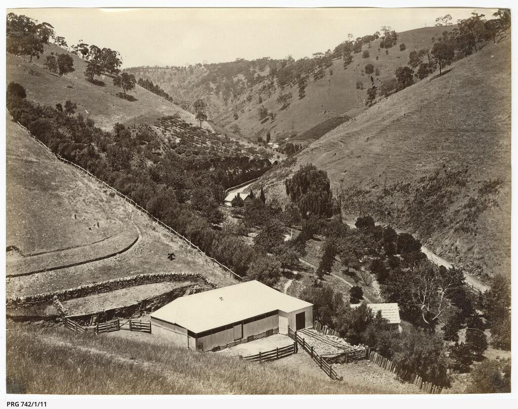 Beaumont Valley, c1870s
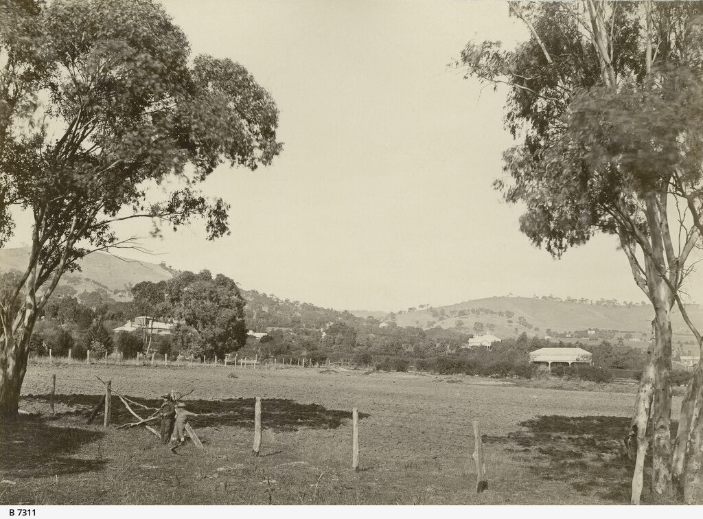 Burnside Looking South, c1873
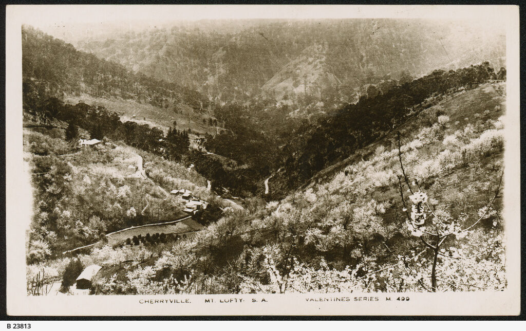 Cherryville, c1937
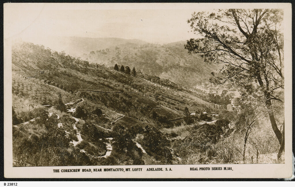 Corkscrew Road Montacute, c1937
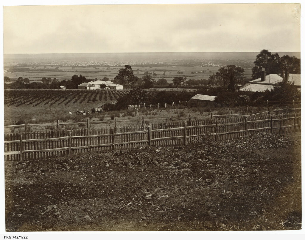 Davenport Estate Beaumont, c1870s
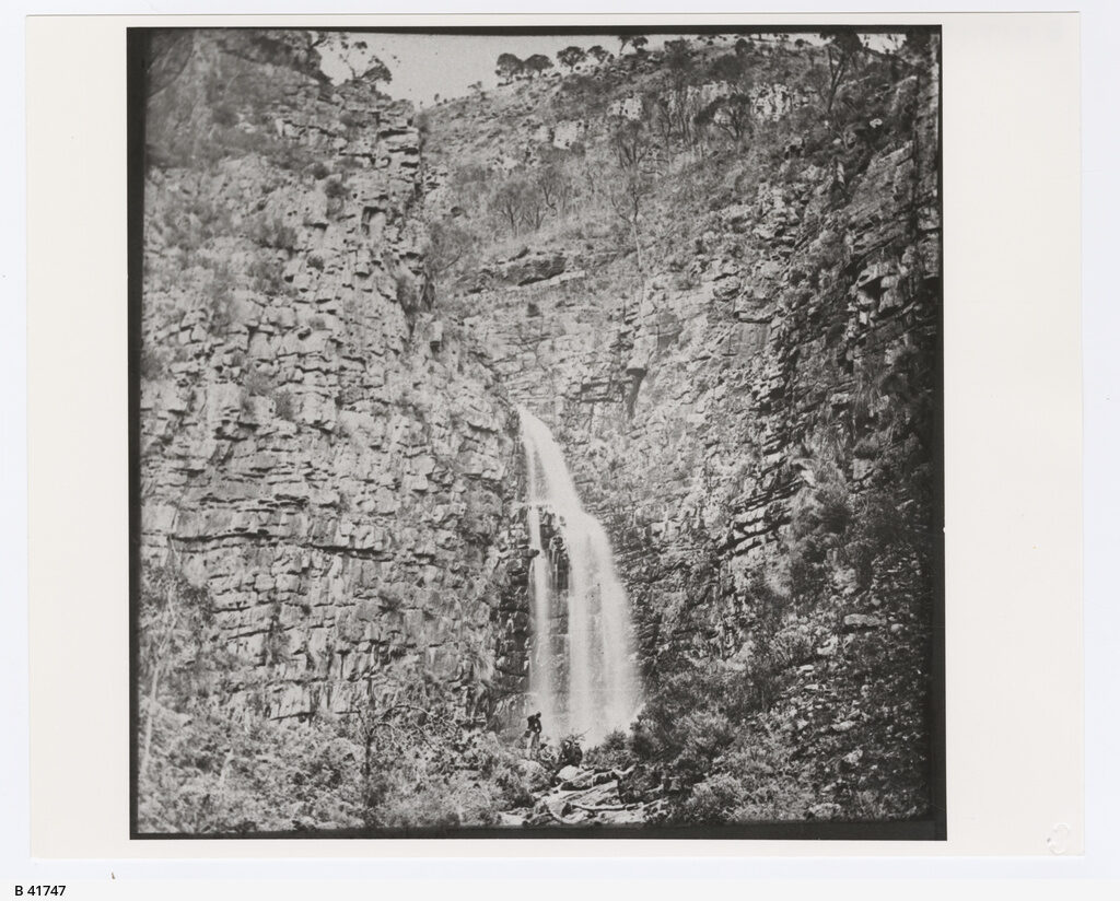 First Waterfall, c1890
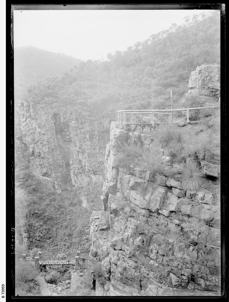 Gorge At Morialta, c1920
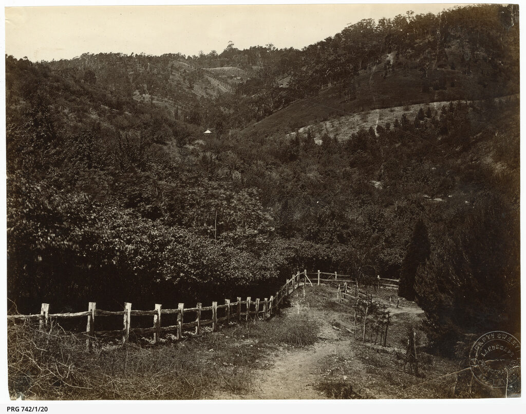 Grove Hill, c1870s
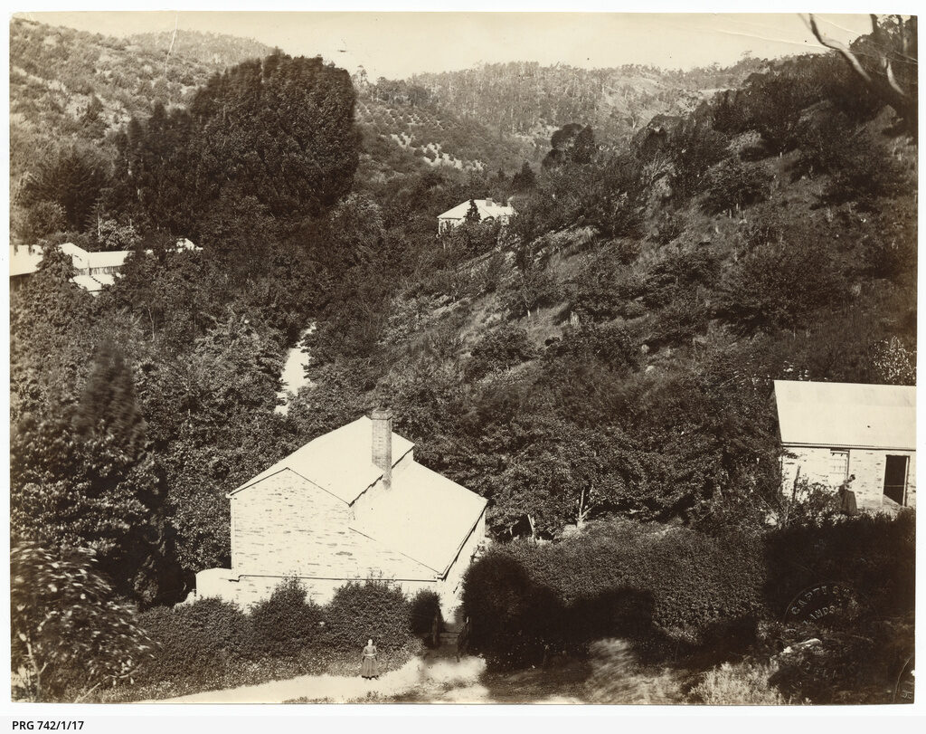 Grove Hill, c1870s
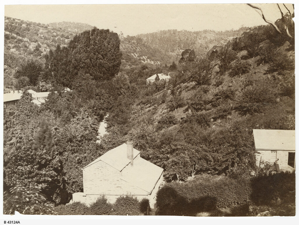 Grove Hill Norton Summit, c1885
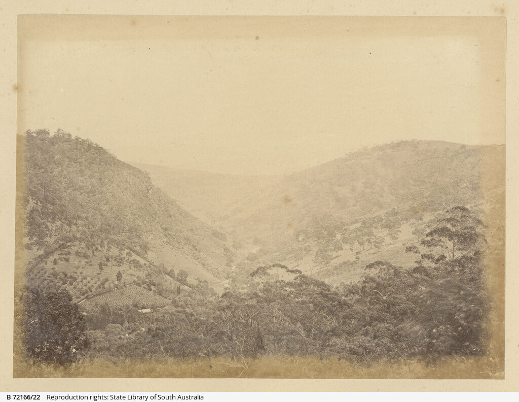 Gully Morialta, c1870 to 1875
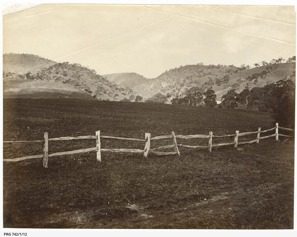 Hills From Magill, c1870s
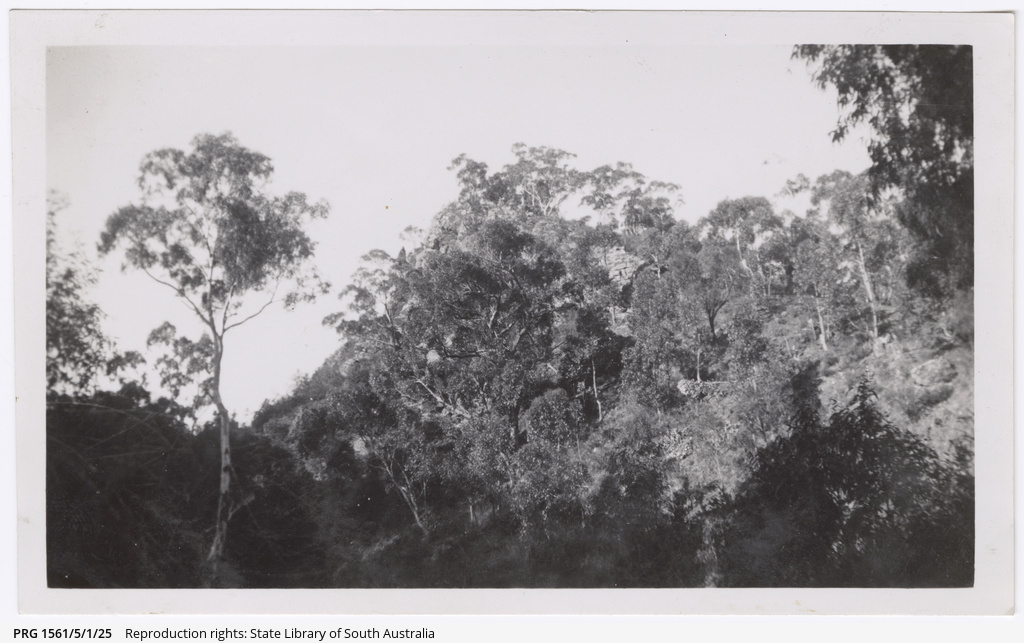 Horsenells Gully, 1940
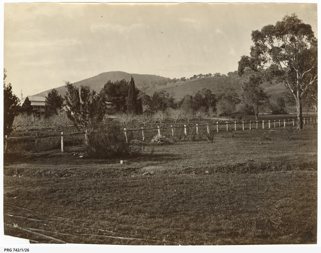 Magill, c1870s
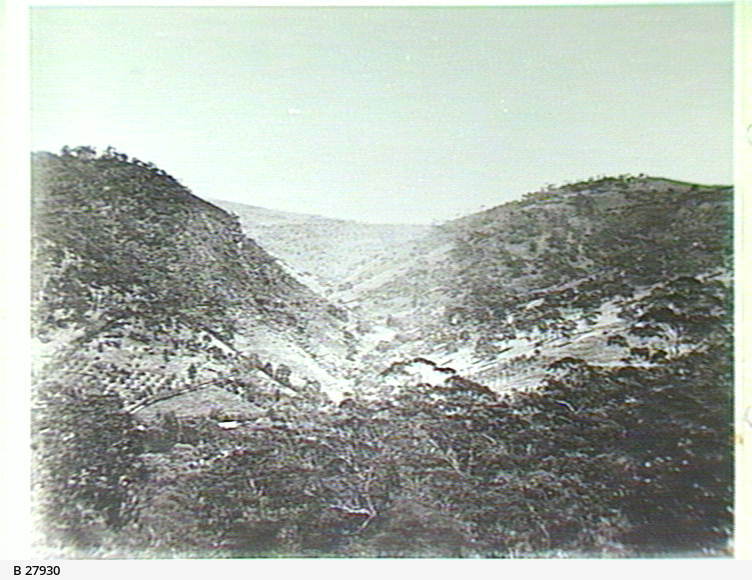 Magill Gully, Skye, c1875
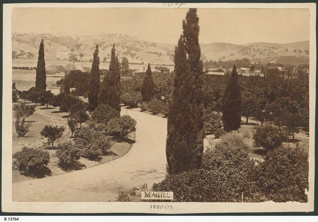 Magill Orchards, c1880
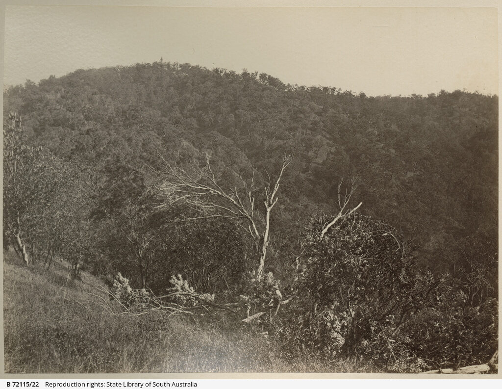 Marble Hill Bushland, c1875 to 1890
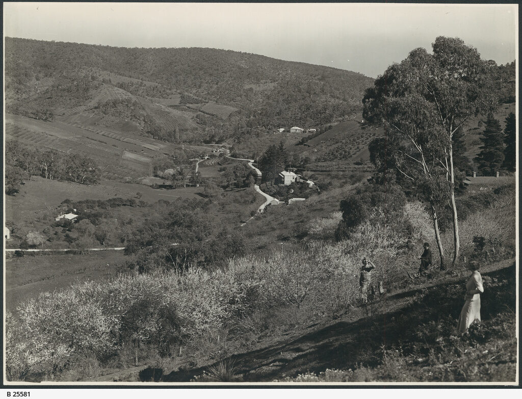 Montacute, c1936
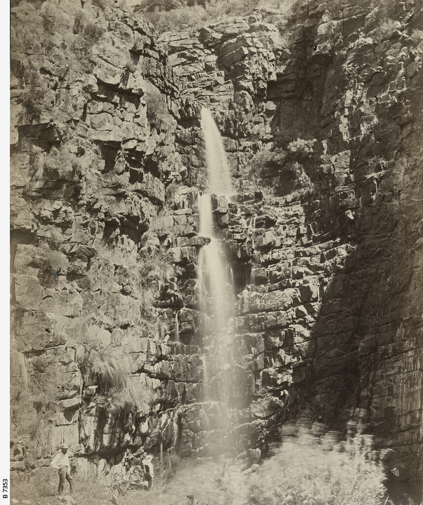 Morialta Falls, c1875
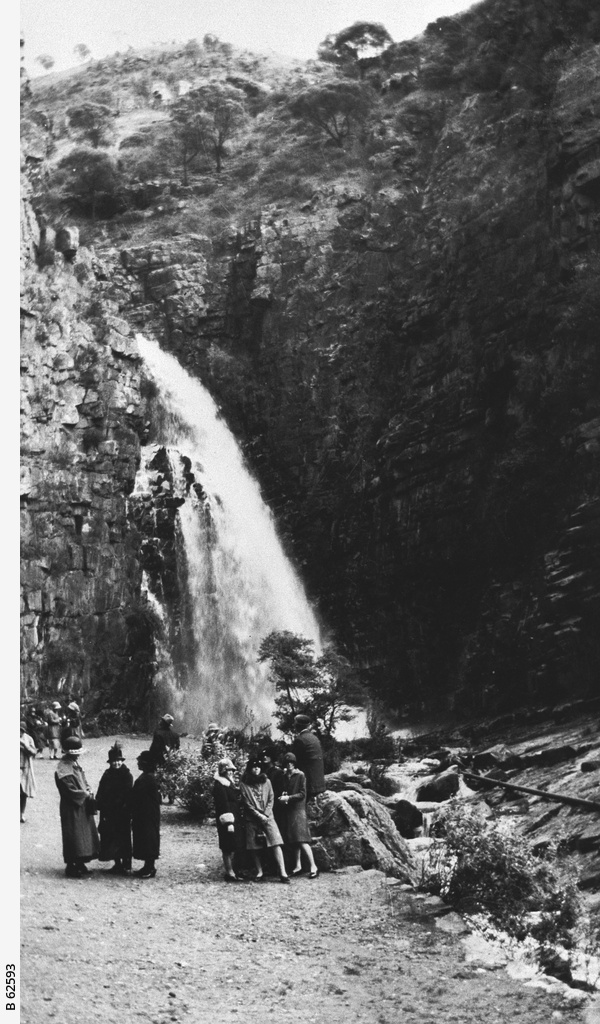 Morialta Falls, c1922
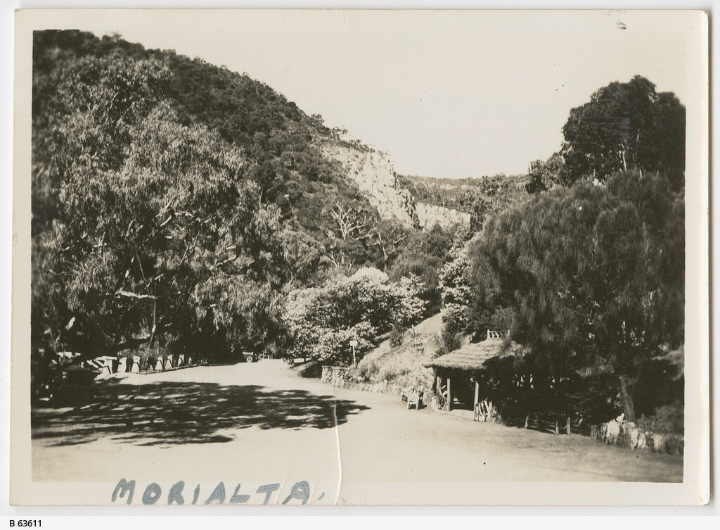 Morialta Park, 1939
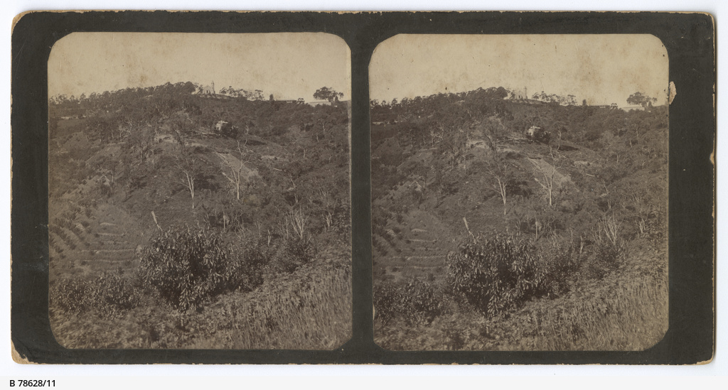 Norton Summit, c1890
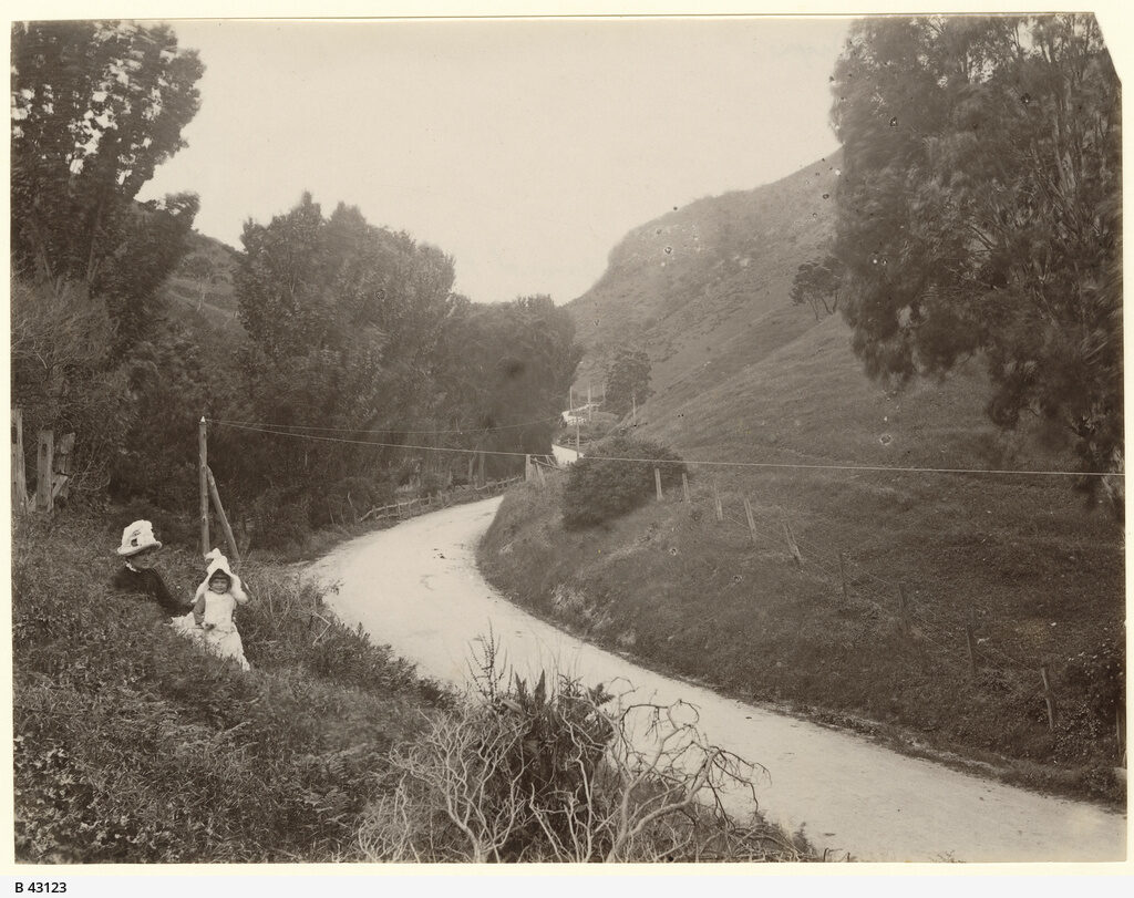 Norton Summit Road, c1885
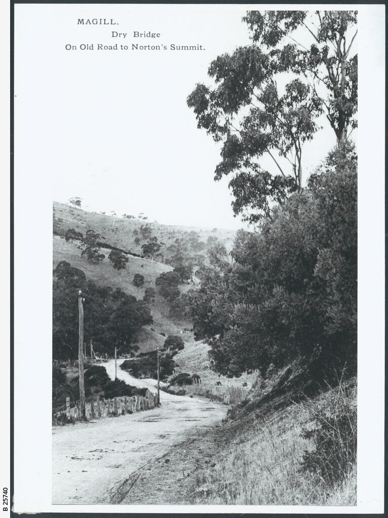 Norton Summit Road, c1900
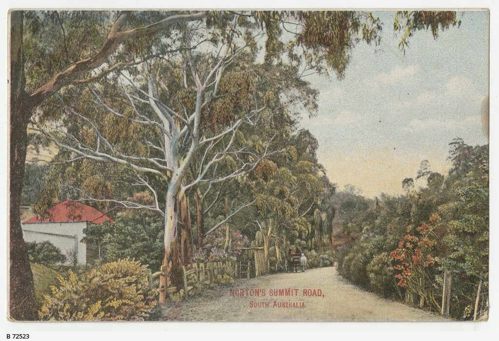 Norton Summit Road, c1913
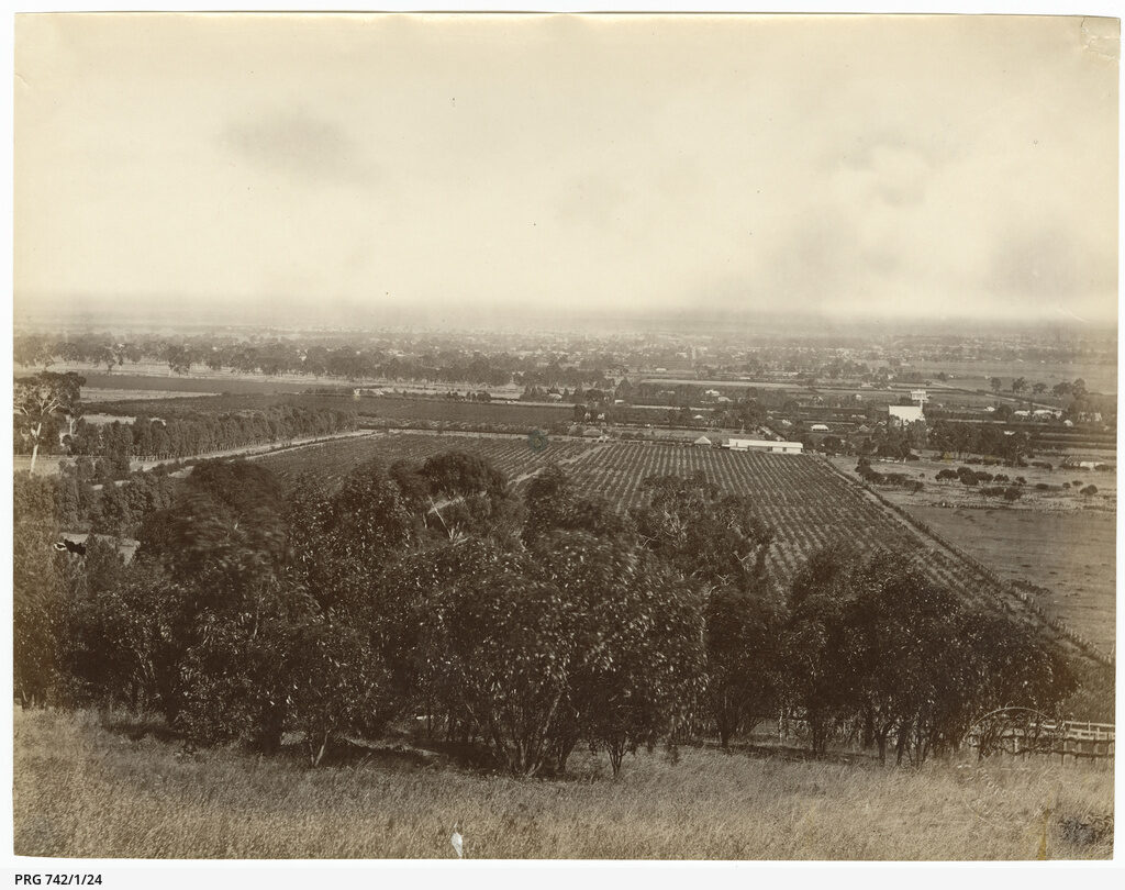 Plains From Magill, c1870s
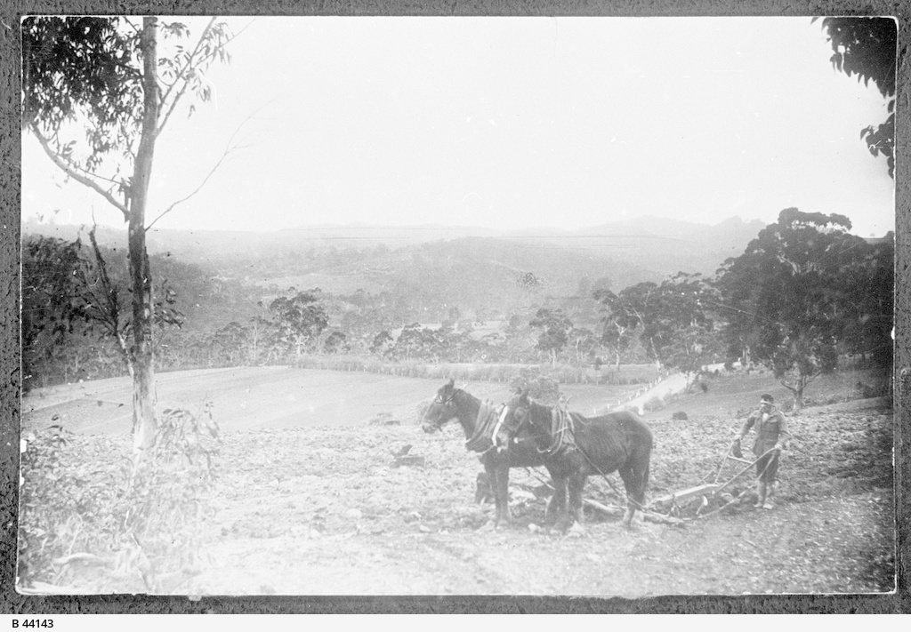 Ploughing Teringie, c1930
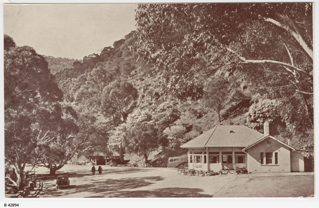 Reserve At Morialta, 1940
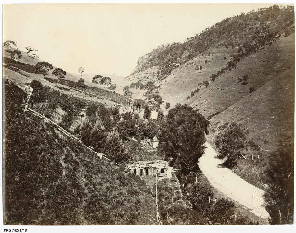 Road To Morialta, c1870s
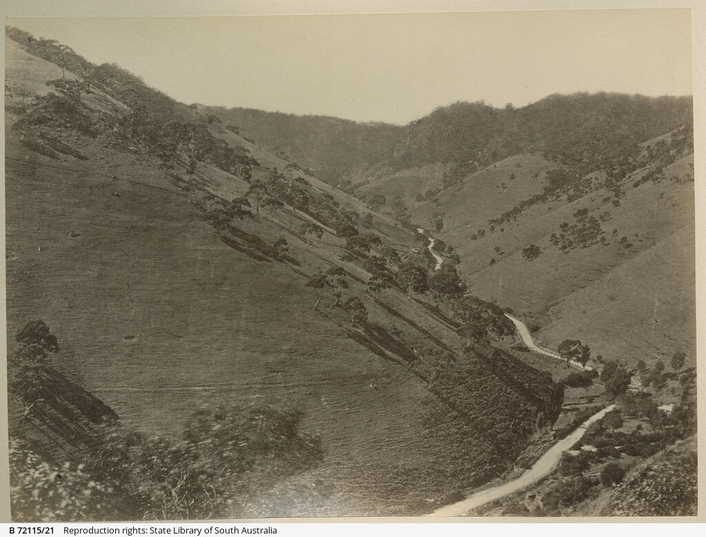 Road To Norton's Summit, c1875 to 1890
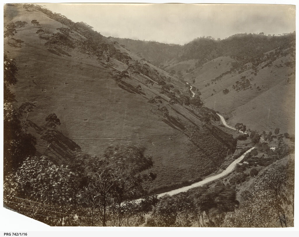 Road To Norton's Summit, c1870s
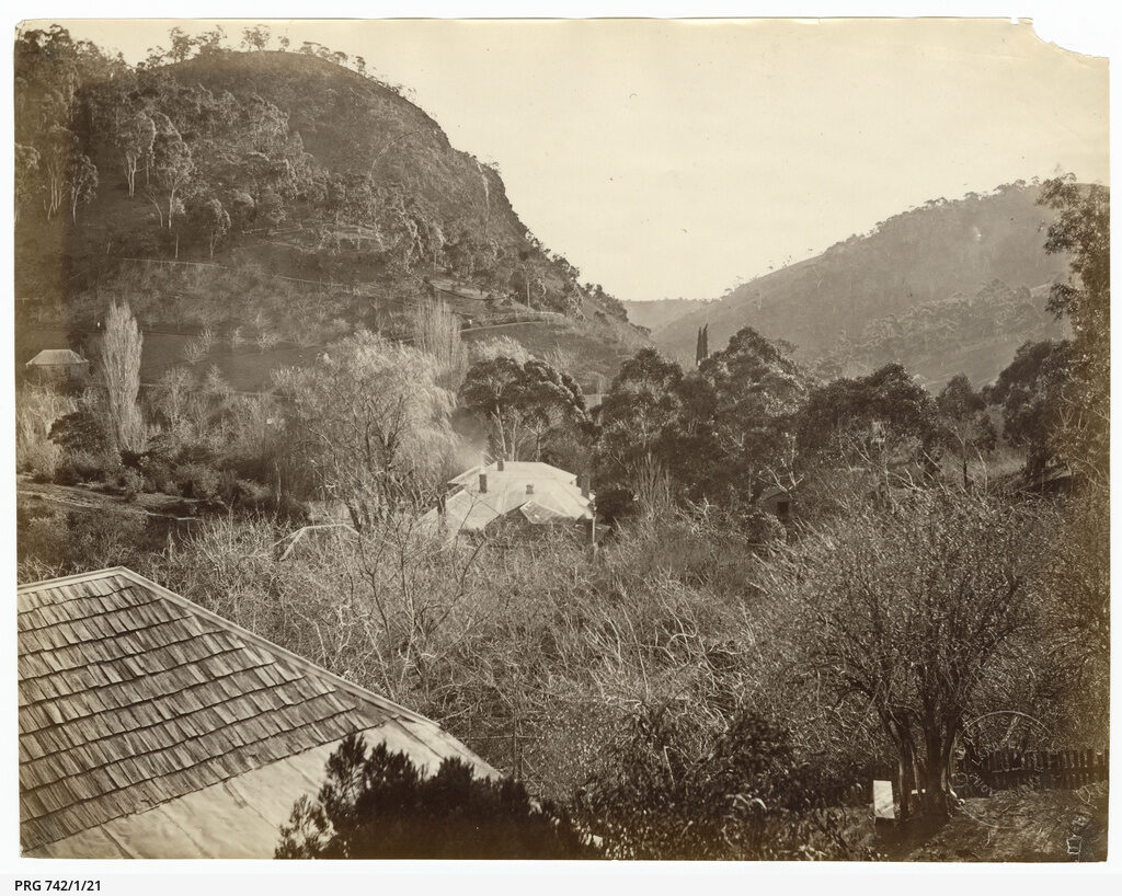 Rock Tavern And Hills, c1870s
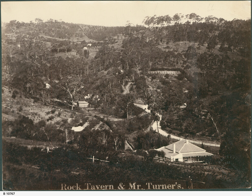 Rock Tavern Norton Summit, c1872
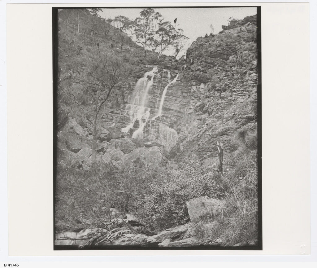 Second Waterfall, c1890
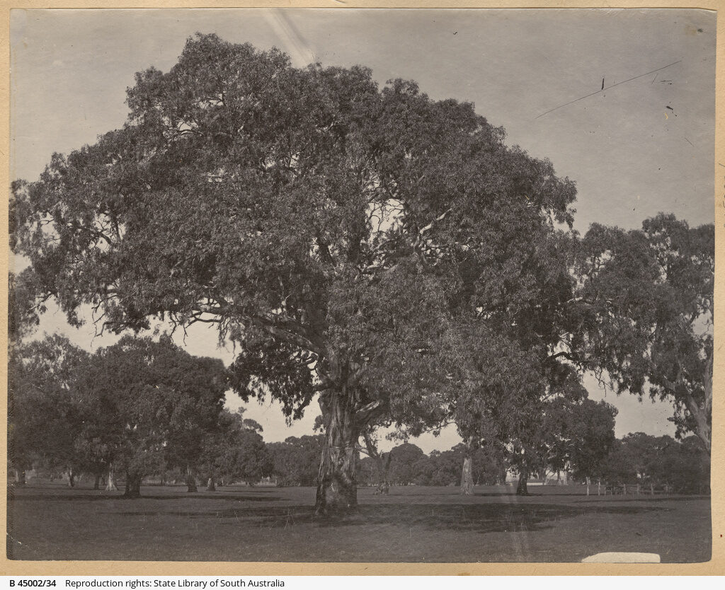 Trees In Grazed Ground, c1868 to 1884
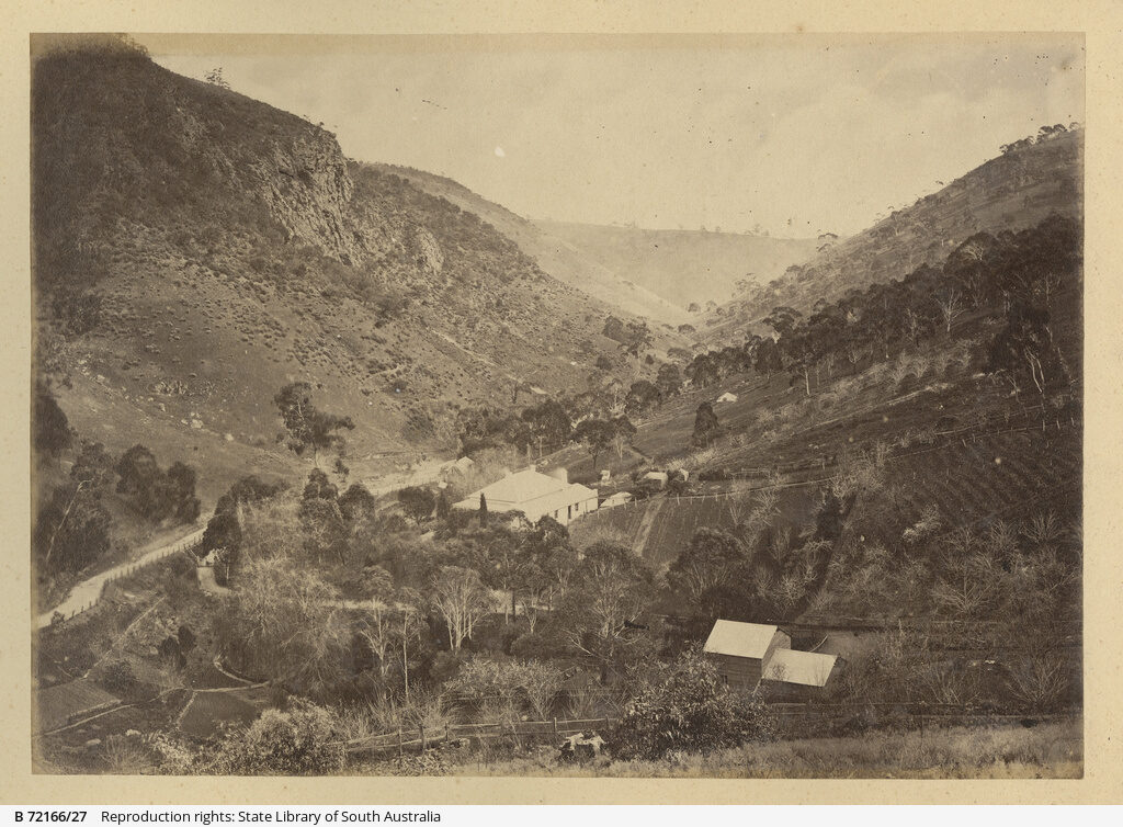 View From Rock Tavern, c1870 to 1875
Photographs: State Library of South Australia. No known copyright restrictions.